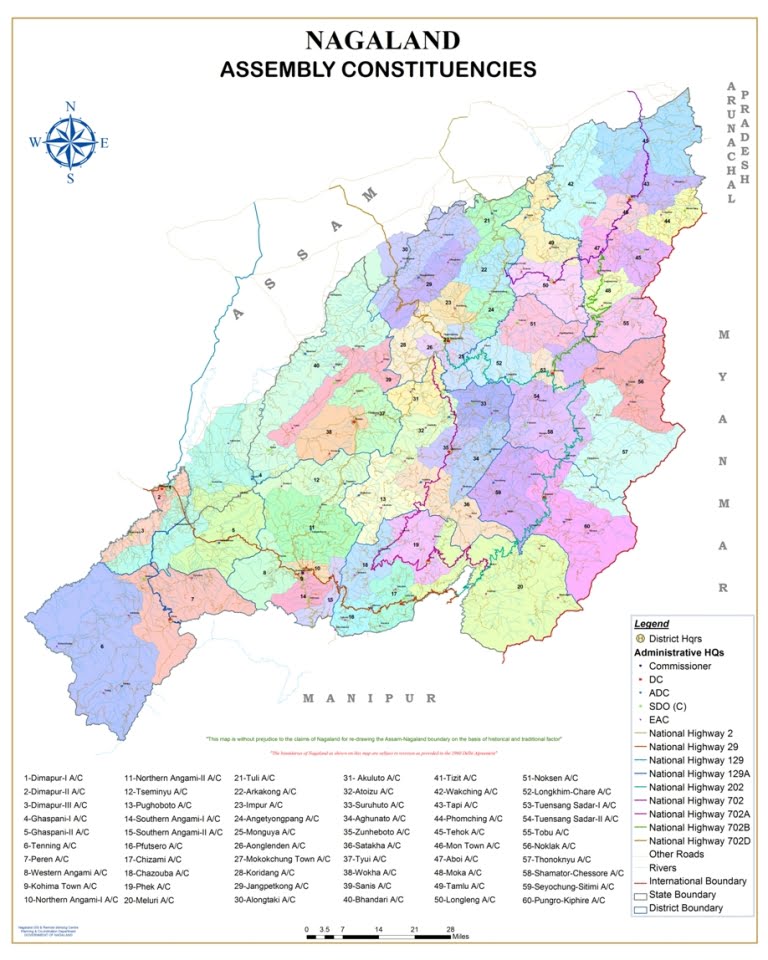
Nagaland (NL) District Name List
The state of Nagaland has an area of 16.579 sq km with a population of 19,88,636 as per the 2001 census. The state is mostly mountainous except those areas bordering Assam valley. Mount Saramati is the highest peak in Nagaland with a height of 3,840 metres, and its range forms a natural barrier between Nagaland and Myanmar.
Nagaland is basically a land of agriculture. About 70 per cent of the population depends on agriculture. The contribution of agricultural sector in the state is very significant. Rice is the staple food. It occupies about 70 per cent of the total area under cultivation and constitutes about 75 per cent of the total food production in the state.
16 District in Nagaland Name List : Chumoukedima, Dimapur, Kiphire, Kohima, Longleng, Mokokchung, Mon, Niuland, Noklak, Peren, Phek, Shamator, Tuensang, Tseminyu, Wokha and Zunheboto.
Nagaland (NL) District Map PDF Download (English Version) – Click Here


 Kendriya Vidyalaya Admission 2024-25 for Class 1 [Apply Online from 1.1.2024 to 15.4.2024]